The New Age of Vibe Mapping
What "vibe coding" did for software, AI is now doing for cartography — describe what you need, and watch the map build itself.
Pioneering the new age of vibe mapping — drone survey, mobile GIS, mission control, and planetary-scale Earth observation, powered by AI.
What "vibe coding" did for software, AI is now doing for cartography — describe what you need, and watch the map build itself.
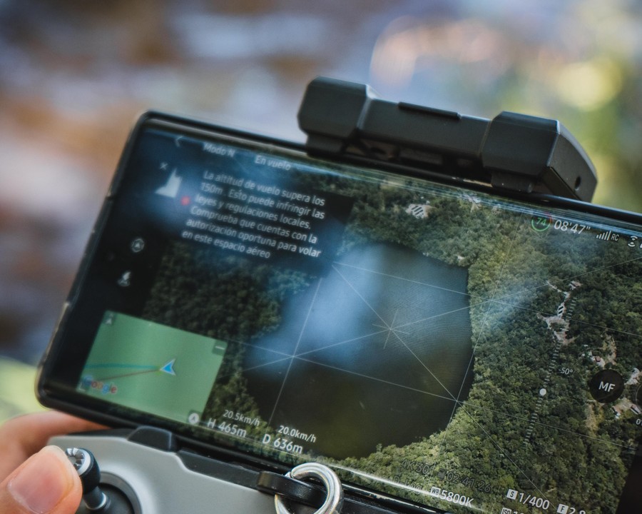
Inside the drone-to-dashboard pipeline that turns a single flight over a field or forest into a live, analysis-ready map.
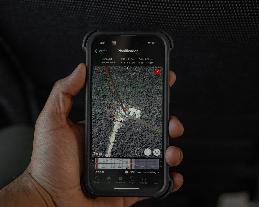
Field teams don't carry laptops — they carry phones. Here's how mobile-first GIS is changing what's possible on site.
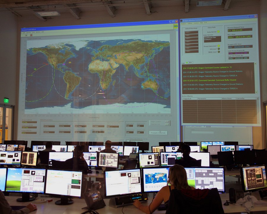
What decades of space-mission operations centers can teach us about monitoring a living, changing planet in real time.
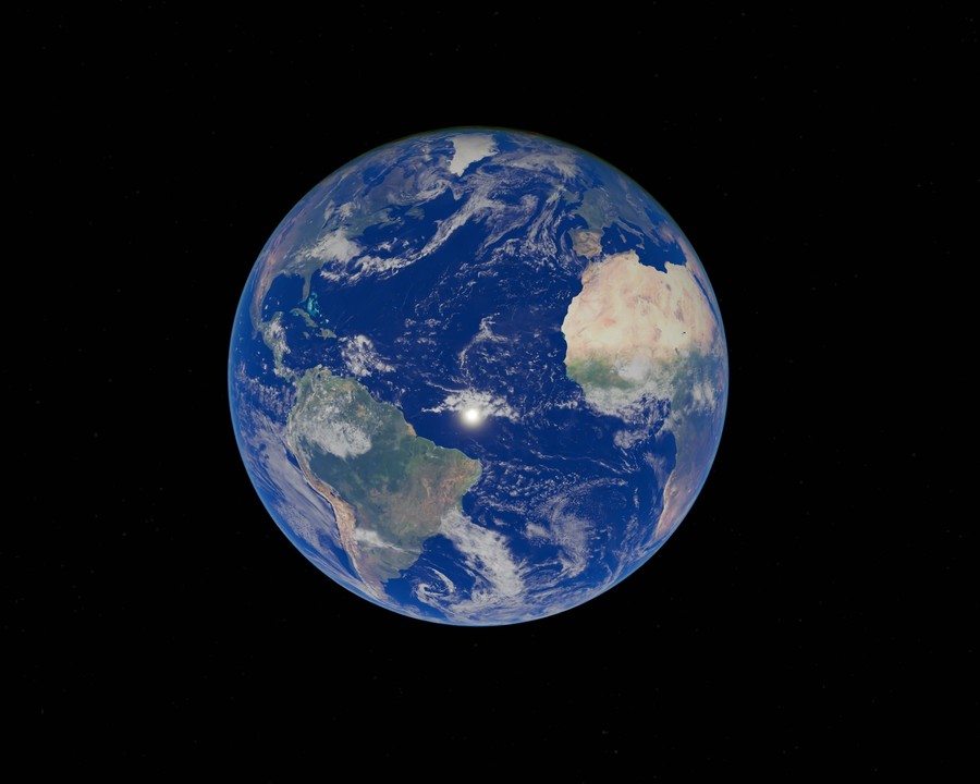
Every second, satellites add another layer to the richest dataset humanity has ever built: the Earth itself.