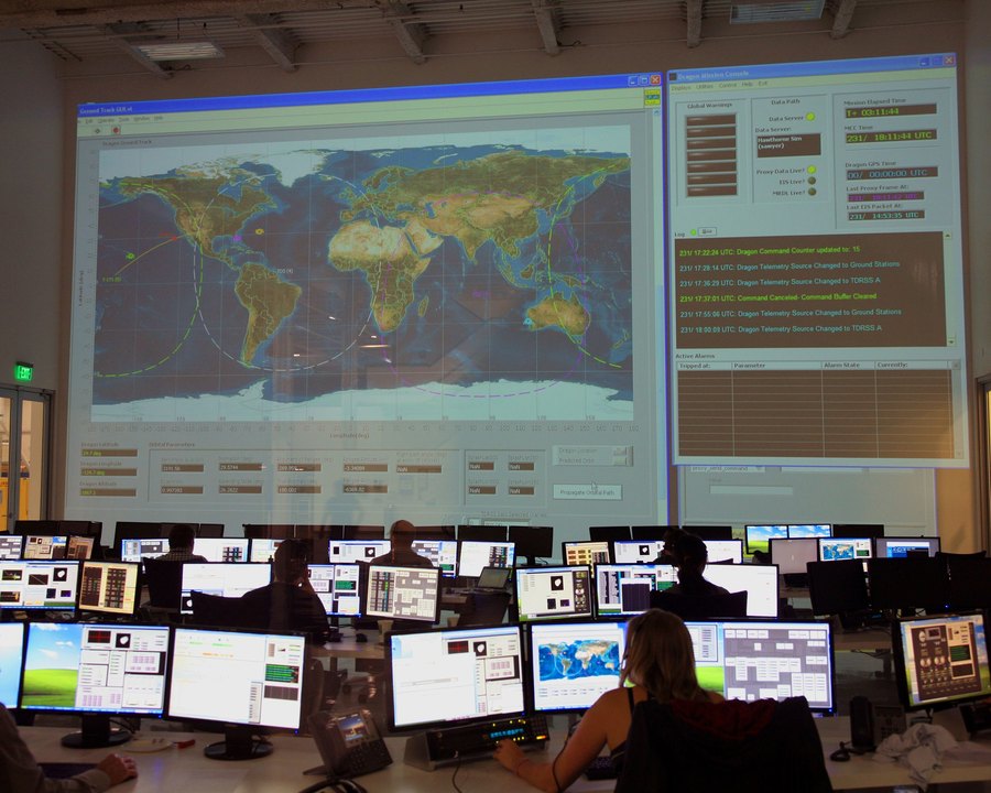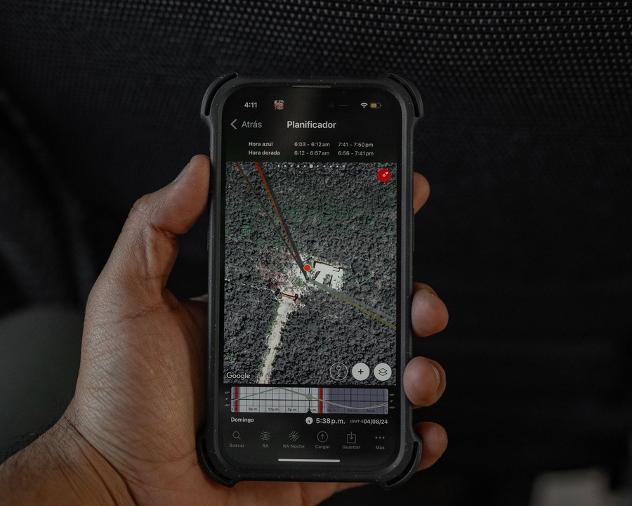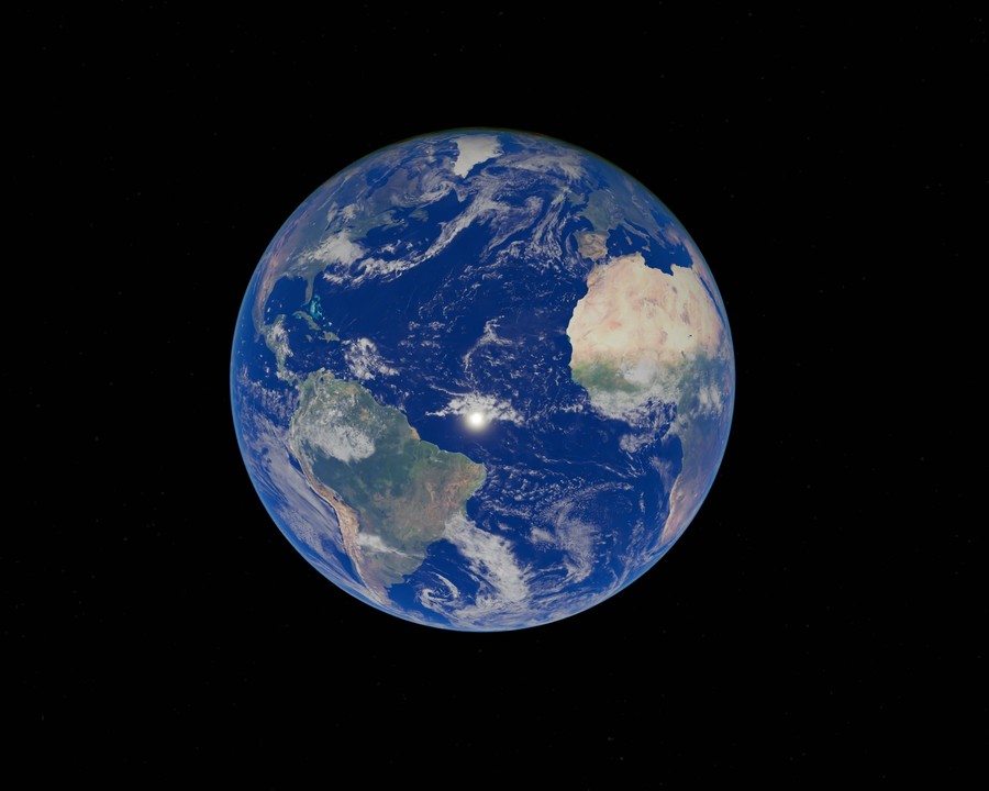
There is exactly one Earth, and it is being photographed, scanned, and measured more often than any object in history. Constellations of satellites now pass over nearly every point on the planet on a regular cadence, each pass adding another layer to a dataset that never stops growing.
The challenge was never a shortage of data. It's turning that flood of pixels into something a person can actually use to make a decision.
From Imagery to Insight
A raw satellite image is just light values in a grid. It becomes useful only after it's processed — corrected for atmosphere and sensor angle, aligned to a coordinate grid, and run through models that can tell the difference between forest and farmland, or between a healthy wetland and a stressed one. That processing is where planetary-scale observation turns into planetary-scale intelligence.
The same square kilometer of land can be observed today, and again next week, and again next month — turning a single photograph into a timeline of how a place is actually changing.
Why Scale Changes the Questions You Can Ask
At the scale of a single field, you can ask "did this crop survive the season." At planetary scale, you can ask entirely different questions: how is deforestation across a whole region trending year over year, or which watersheds are showing early signs of stress before it's visible from the ground. Scale doesn't just mean more data — it means new categories of question become answerable at all.
Grounded, Not Just Global
Planetary-scale data is only as useful as its connection back to the ground. That's why KijaniHub pairs satellite observation with drone survey and field reports — so a pattern spotted from orbit can be checked, confirmed, and acted on by the people closest to it.
Explore Earth observation data
Satellite-scale insight, grounded in local reality.
Launch GeoAI Studio