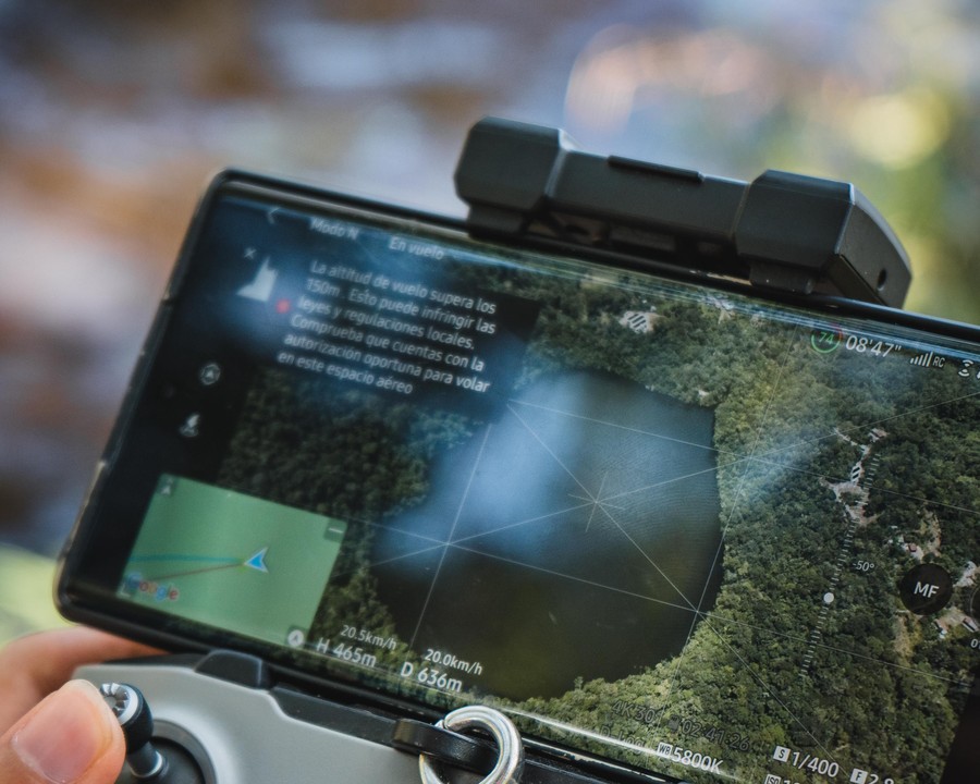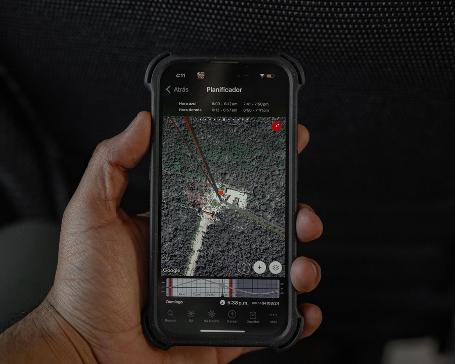
Most GIS software was designed for an office: a desk, a mouse, a big monitor. But most geospatial decisions don't happen in an office — they happen standing in a field, at a project site, or on the edge of a forest, with a phone as the only device in hand.
Mobile GIS closes that gap. It puts satellite basemaps, live location, and analysis tools directly into the pocket of the person who needs them most: the one actually standing on the ground.
Built for One-Handed Use
A field-ready map has to work with patchy signal, direct sunlight, and someone holding a clipboard in the other hand. That means offline-capable basemaps, large touch targets, and a workflow that goes from "where am I" to "what am I looking at" in a single tap — no menus to dig through.
The best mobile map isn't a smaller version of the desktop tool. It's a different tool, built around the fact that you're moving, not sitting.
From Observation to Record, Instantly
A phone in the field isn't just for viewing — it's for capturing. A pin dropped at a sighting, a photo attached to a plot boundary, a note on a change in land use: each becomes a georeferenced data point the moment it's created, feeding straight back into the same platform used for satellite and drone analysis.
Connectivity Optional
Across much of the geography KijaniHub serves, a reliable connection can't be assumed. Mobile mapping tools have to cache what's needed before the team ever leaves signal range, and sync quietly once they're back — so a gap in coverage never means a gap in data.
Take your maps into the field
Access satellite basemaps, GPS, and live layers from any device.
Launch GeoAI Studio