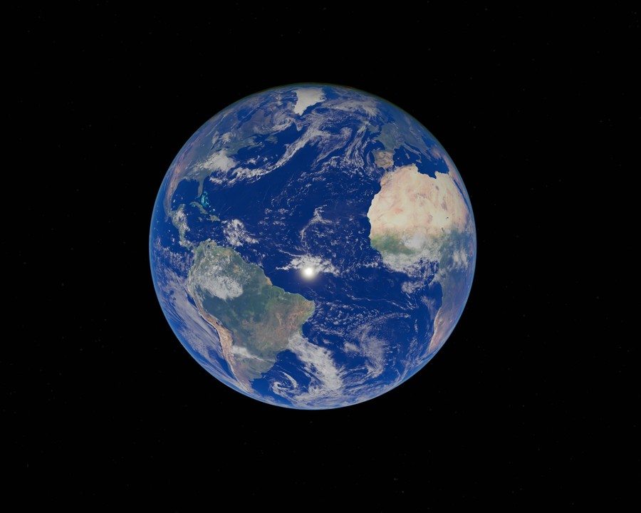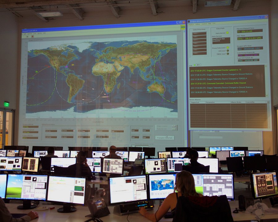
Walk into any space-mission operations center and you'll see the same thing: a wall of screens tracking a single object — a spacecraft, a satellite — against a backdrop of the whole Earth, with a room full of specialists watching for the one signal that matters right now.
It's a strange amount of infrastructure to keep an eye on one thing. But it points at an idea worth borrowing for a much bigger target: the planet itself.
One Screen, Every Layer
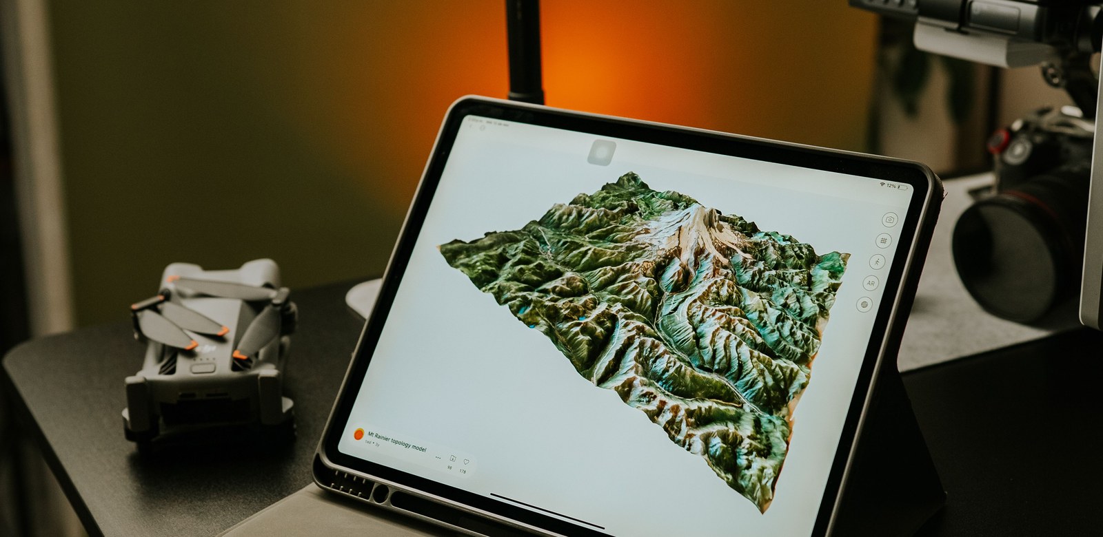
Environmental monitoring is usually scattered — a deforestation alert here, a water-level sensor there, a field report in someone's inbox. A mission-control approach means pulling those streams into one place: satellite change-detection, drone survey results, and ground reports from mobile teams, all on the same map, updating as new data arrives.
The value isn't in any single data feed. It's in seeing them together — a satellite alert cross-checked against a drone flight, confirmed by a report from someone on the ground, all within the same view.
From Watching to Deciding
A real mission-control room isn't just for observing — it's where decisions get made under time pressure. The same has to be true for environmental data: an alert that surfaces without a clear next step is just noise. KijaniHub's dashboards are built to answer not only "what changed" but "where," "how much," and "what should happen next."
Built for Teams, Not Just Individuals
Just as a mission has flight directors, engineers, and analysts each watching their own console, environmental monitoring spans roles — field officers, GIS analysts, and decision-makers — who all need the same underlying picture, viewed through the lens relevant to their job.
Bring your data into one view
Satellite, drone, and field data — monitored together, in real time.
Launch GeoAI Studio