Ten years ago, mapping a stretch of farmland or forest meant a survey team, a truck, and days of walking transects. Today it can mean one drone, one flight, and a set of AI models that start classifying the ground before the aircraft has even landed.
That shift — from slow, manual survey to near-instant aerial intelligence — is what drone mapping means at KijaniHub.
The Pipeline Behind the Flight
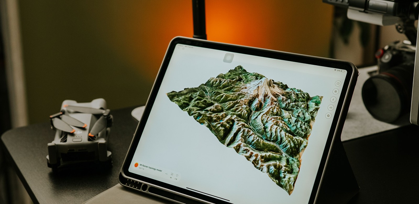
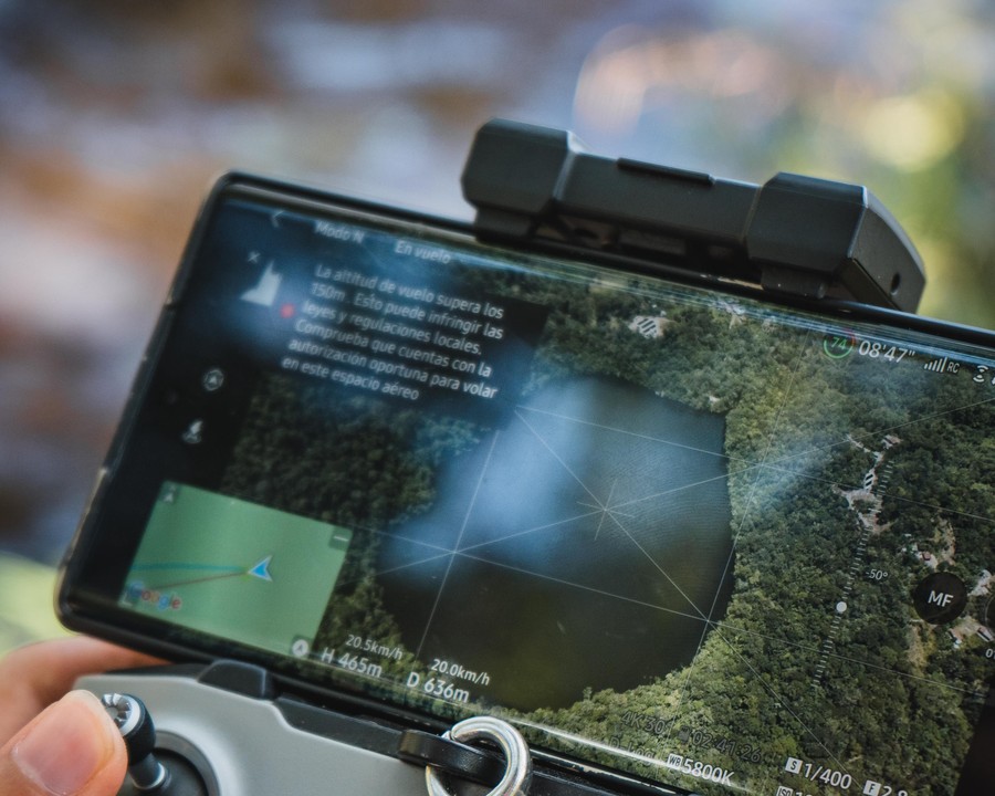
A typical mapping flight follows a flight plan generated for the site: altitude, overlap, and camera settings tuned to the terrain. As the drone flies its grid, it captures overlapping high-resolution images that get stitched into a single orthomosaic — a seamless, geographically accurate picture of the whole area.
From there, our models take over: detecting vegetation health, surface change, water bodies, or built structures, and turning raw pixels into labelled, queryable map layers.
A single flight over a few hundred hectares can now produce, in hours, the kind of ground-truth data that used to take field teams weeks to compile.
Why Speed Changes the Use Case
When mapping takes weeks, it gets used sparingly — for major surveys, not day-to-day decisions. When it takes hours, it becomes a monitoring tool: fly the same site monthly, compare change over time, and catch problems — encroachment, erosion, disease in a crop — while they're still small.
Built for the Field, Not the Lab
None of this is useful if it stays locked in specialist software. Every drone-derived map in KijaniHub flows into the same GeoAI Studio that powers our satellite and mobile tools, so a finding from a morning flight can be shared, annotated, and acted on the same day.
Bring your own flight data to life
Upload drone imagery and let GeoAI Studio turn it into an analysis-ready map.
Launch GeoAI Studio